Drone images show Mazowe River fragmented near Richbasin granite mine
By the AFREEQUE newsroom, based on 263Chat
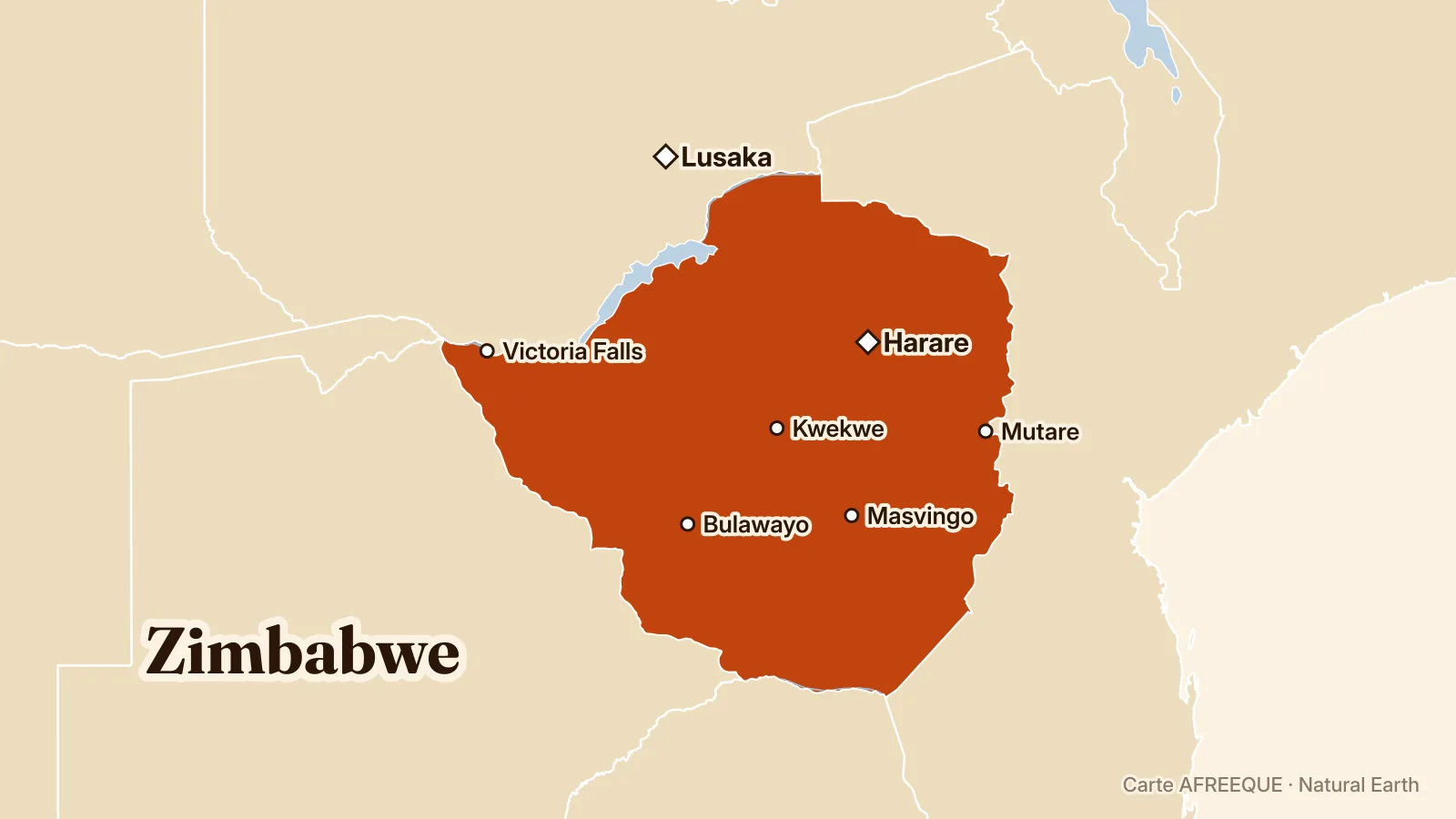
Drone images show that Zimbabwe’s Mazowe River loses its continuity downstream of the Richbasin granite mine, with exposed rocks and disconnected pools where the watercourse was continuous upstream. They renew questions about the impact of granite extraction on the riverbed and banks, according to 263Chat.
Aerial drone images show severe fragmentation of Zimbabwe’s Mazowe River near granite extraction activities linked to Richbasin Minerals. While the watercourse appears continuous upstream, the images show exposed rocks, sandbanks and separate pools downstream, according to 263Chat.
The Richbasin Minerals quarry extends immediately alongside the river, with excavated areas, rocky surfaces, processing facilities, granite blocks and heavy machinery visible around the watercourse. This proximity raises questions about possible diversion, obstruction or alteration of the Mazowe’s natural flow by mining activities, according to 263Chat.
The images alone cannot establish the extent to which granite mining is responsible for the drying observed downstream. They nevertheless show a clear break between the upstream and downstream sections of the river around the mining site, fuelling calls for an investigation into the effects of extraction on the watercourse and the communities that depend on it, according to 263Chat.