Angola develops economic uses for its satellites
By the AFREEQUE newsroom, based on Jornal F8

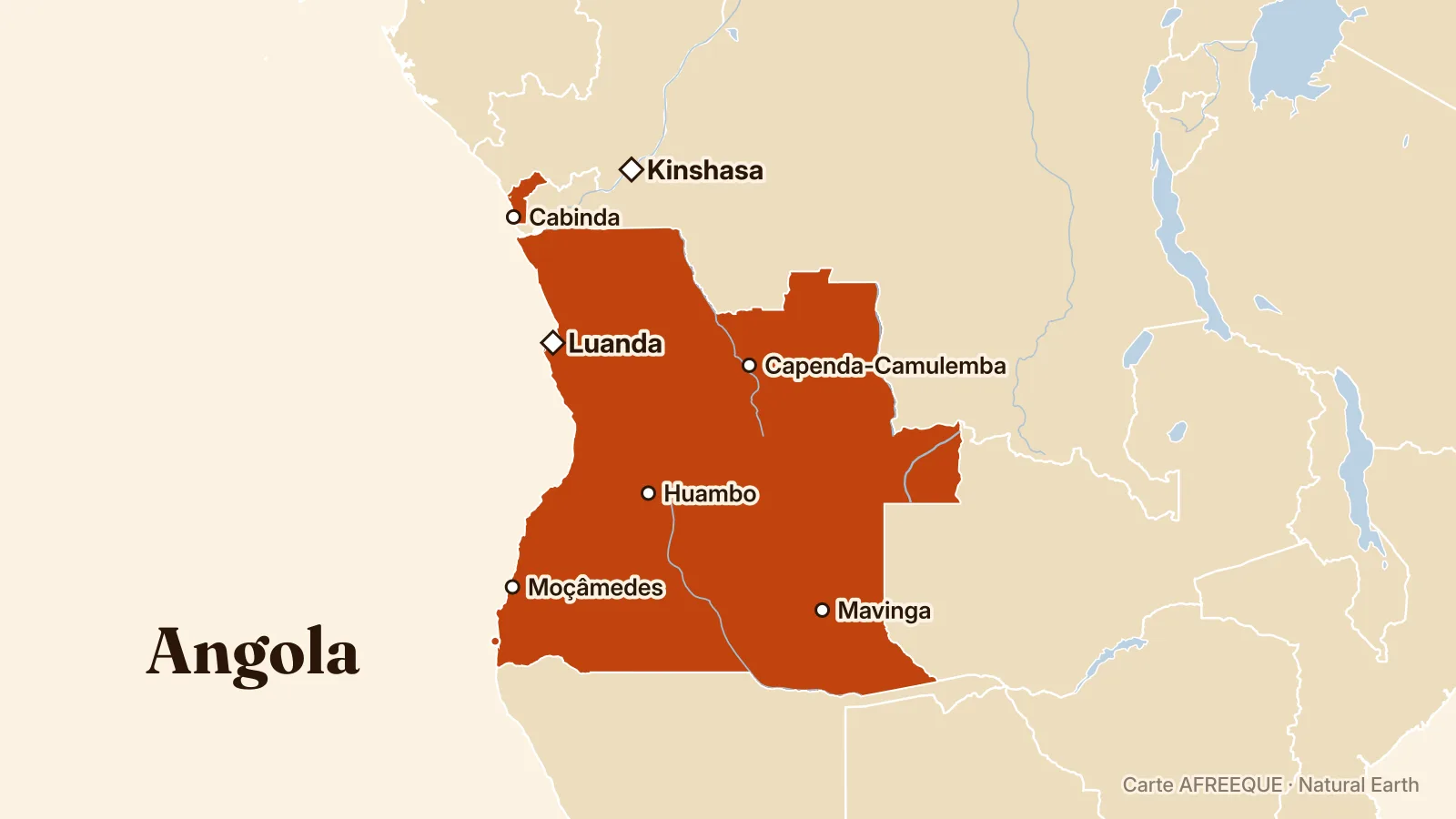
Zolana João, head of Angola’s National Space Programme since 2014, is developing the economic uses of satellites, including connectivity, Earth observation and geospatial analysis. The ANGEO-1 project is expected to provide data useful for environmental monitoring, disaster management and development planning, according to Jornal F8.
Under the leadership of Zolana João, an engineer and head of the National Space Programme Management Office (GGPEN) since 2014, Angola is seeking to turn its satellites into tools for connectivity, Earth observation and economic development, according to Jornal F8. The launch of ANGOSAT-2 is one of the central milestones in this strategy.
The ANGEO-1 project aims to put Angola’s first high-performance Earth observation satellite into service. It is expected to provide images and geospatial data for environmental monitoring, disaster response and national development planning, according to Jornal F8.
The Angolan Geodata Centre (GEDAE) is expected to turn this information into decision-making tools. Projects linked to ANGOSAT-2 and Connecta Angola aim in particular to extend connectivity to rural communities, while satellite data could be used for agricultural and infrastructure planning, risk management and responses to climate change.
Zolana João also chairs the steering committee for the Southern African Development Community’s (SADC) shared satellite project, which brings together 16 countries around a jointly owned spacecraft. A researcher affiliated with the Massachusetts Institute of Technology, he also takes part in initiatives on the responsible use of artificial intelligence and space technologies, including a NASA-funded drought response system in Angola, according to Jornal F8.