Ethiopia’s satellites strengthen development planning
By the AFREEQUE newsroom, based on Fanamc

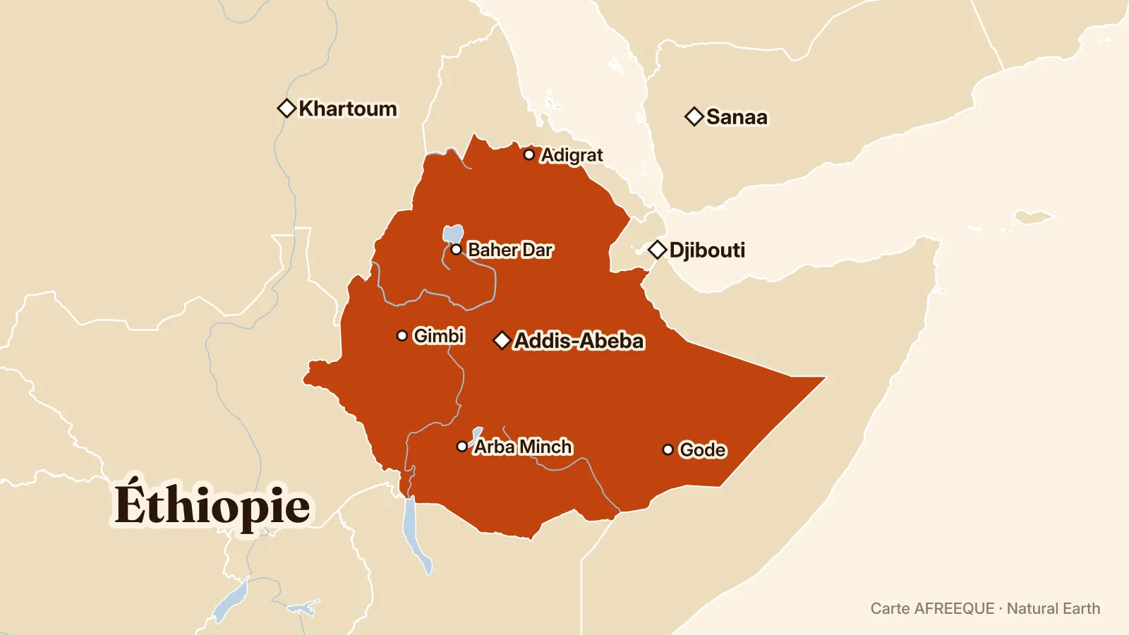
Ethiopia’s space and satellite capabilities are helping improve data collection for development planning and monitoring, Andre Nonguierma, head of geospatial information management at the UN Economic Commission for Africa, said. He called on African countries to cooperate and bring satellite data together with official statistics to inform decisions, according to the UN body.
Ethiopia’s satellite capabilities are helping to improve development planning and the production of geospatial data in Africa, Andre Nonguierma, head of geospatial information management at the United Nations Economic Commission for Africa (ECA), said, Fanamc reports. This data can help shape evidence-based policies and monitor the continent’s progress.
Nonguierma said Ethiopia’s satellite launches and the development of national space capabilities were strengthening the collection of data needed for planning. Ethiopia is also seeking to improve its meteorological services, a field that satellite observations can contribute to, according to a project presented by the country to strengthen those services.
Summary produced with the help of artificial intelligence tools, under AFREEQUE’s editorial responsibility.